CRNHS – Curry Rivel Wildlife Google Map
Back home / Latest News / CRNHS – Wildlife Google Map
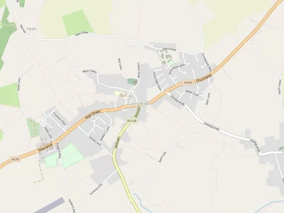
CRNHS – Curry Rivel Wildlife Google Map is now available for all.
| Introduction |
| What is it? | The Curry Rivel Wildlife Google Map is a map using the Google Maps "My Map" function, which we can use to share information about wildlife in and around Curry Rivel. |
| Who is it for? | It is mostly aimed at people who live in Curry Rivel, but anyone is free to use it. |
| Does it cost anything to use? | No, it is completely free. |
| Who can use it? | Anyone can see the information, but you need to be on a list to edit it. Just ask us to be put on the list. |
| Instructions |
| How do I access it? | Just click here to see the map. |
| How do I control what I see? | On the left of the screen there is a list of categories, such as "Places", "Birds" and "Animals". Click on the tick next to each one to turn them on and off. |
| How do I add information? | When you are on the list of editors of the map, you can add information like this: |
| * Click one of the categories: Places, Birds, Animals, etc. A blue bar will appear on the left of the category box. |
| * Click the "Add marker" icon in the menu strip at the top of the screen |
| * Click on the map; a menu box with two edit boxes appears. Type the name of the entry in the top edit box, and some information about it in the bottom box |
| How do I get on the list of editors? | Email someone on the Curry Rivel Wildlife group, and they will add you to the list |
| How else can I add information? | Send us information about what you have seen or interesting wildlife information, with a name, description, and place, and we can add it to the map for you. mattgeen@gmail.com?subject=Curry%20Rivel%20Wildl |
Get In Touch
CurryRivelOnline is powered by our active community.
Please send us your news and views.
Email: editor@curryrivel.org.uk
